Place guide
Sandia Mountains
Mountain range east of Albuquerque known for its pink granite cliffs, forested trails, and panoramic views of central New Mexico.
📍GPS: 35.182221, -106.421282
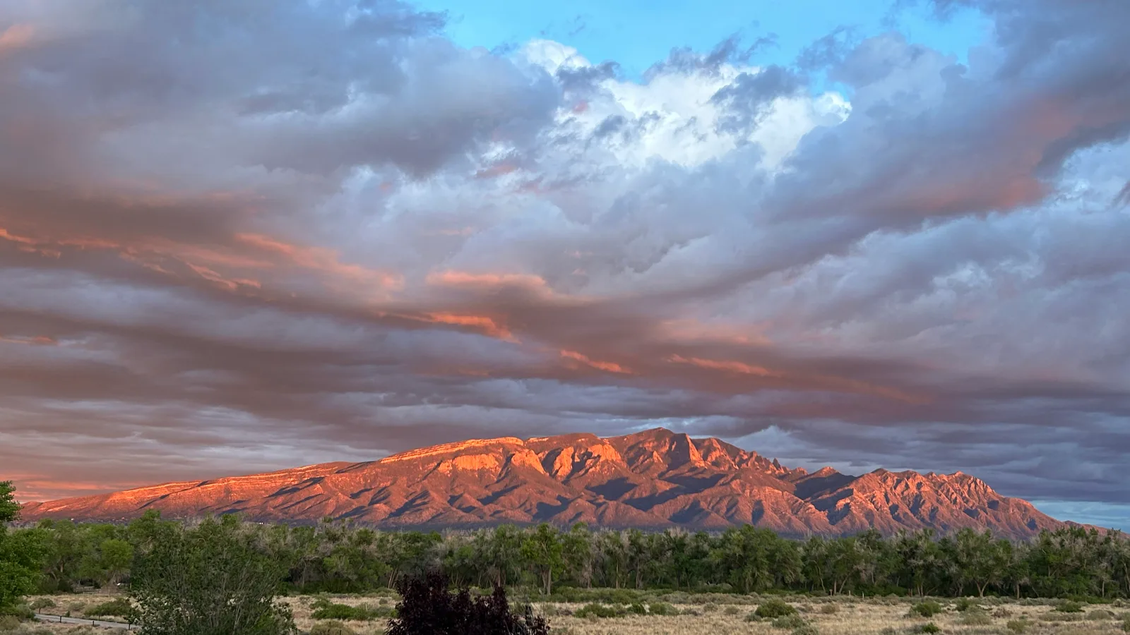
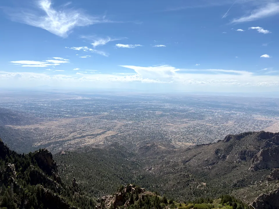
The Sandia Mountains are Albuquerque’s defining landmark. Rising up to 10,678 feet directly east of the city, the range forms a steep wall above the Rio Grande Valley and shows up in the background of nearly every view across town. The mountains are home to hiking trails, picnic areas, overlooks, a fancy restaurant, ski runs, and the longest tram in America.
Why Do the Sandias Turn Pink?
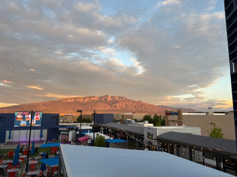
The name “Sandia” means watermelon in Spanish, and the mountains are famous for glowing pink, red, and orange at sunset. The effect is strongest when low evening light hits the west face of the range. Part of the color comes from the Sandia granite itself, which has pinkish mineral tones, especially from feldspar crystals. When the sun is low, the cliffs catch that warm light and the whole mountain front can look like it is lighting up from the inside.
What to Do
There is a wide variety of trails in the Sandia Mountains, ranging from short, easy walks to challenging hikes that gain thousands of feet in elevation.
La Luz Trail
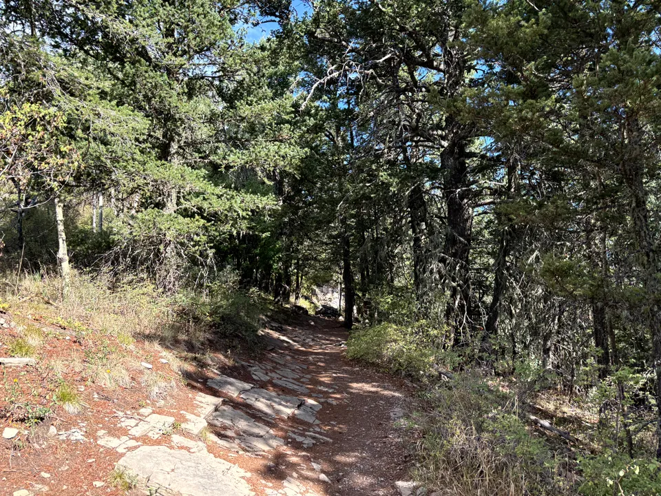
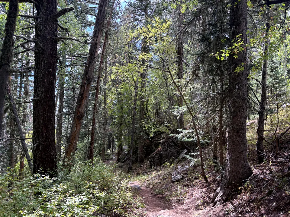
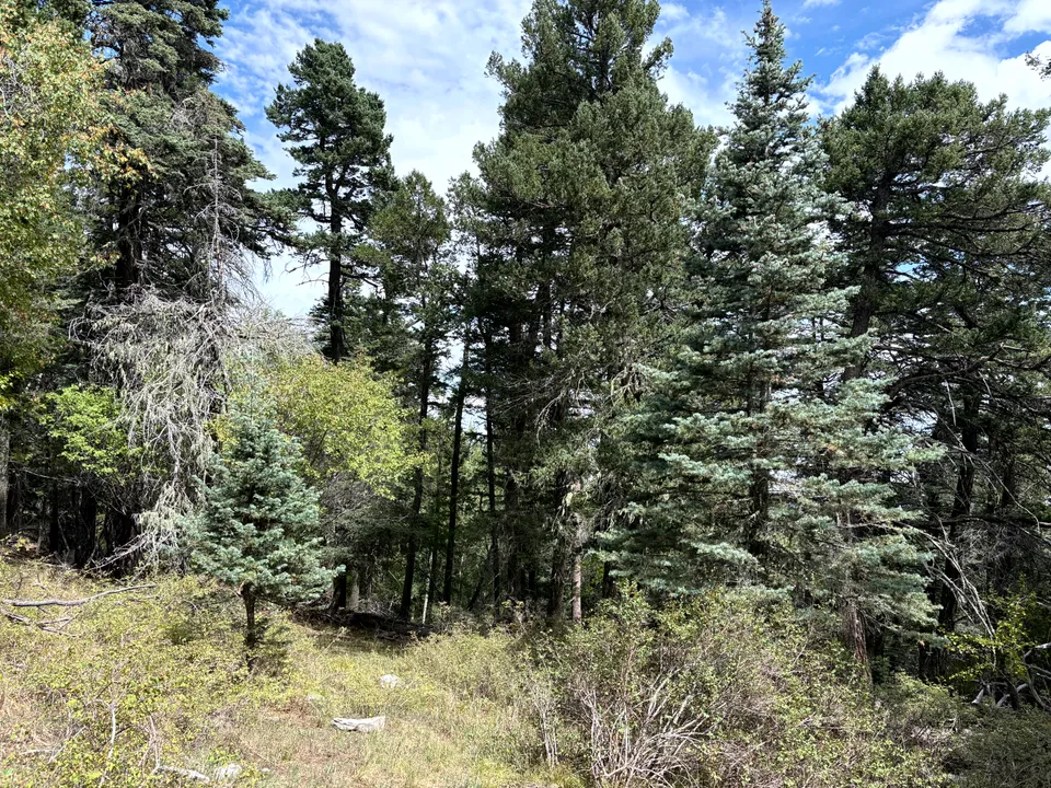
La Luz is the classic Sandia hike. It climbs from the west side of the mountains toward the crest, gaining over 4000 feet of elevation. The trail passes through desert grassland, piñon-juniper woodland, and pine forest towards the end. It’s not casual, many people (myself included), have underestimated it because the trailhead is close to Albuquerque. Some people have died or needed airlift. Start early, bring plenty of water, and check the route so you don’t get lost.
Tree Spring Trail
Tree Spring Trail is a much easier way to reach the crest from the east side of the mountains. The trail starts off the Sandia Crest Scenic Byway and climbs about 4 miles through forest to the ridgeline, offering high-elevation views without committing to a long climb from Albuquerque.
Kiwanis Cabin
Kiwanis Cabin is a limestone structure reachable by a short, popular side trip from the crest. The old stone shelter sits near the edge of the mountain with a view over Albuquerque, worth the short walk if you’re already up there.
Sandia Man Cave
Sandia Man Cave is a short side trip on the east side of the mountains. The cave is reached by a metal staircase, a quick stop rather than a full hike, and easy to fold into a drive along the Sandia Crest Scenic Byway.
TWA Flight 260 Crash Site
The TWA Flight 260 crash site is one of the more unusual hikes in the Sandias. The route leads to the wreckage of a 1955 plane crash on the west side of the mountains. It is best for people who are comfortable with steep, rocky terrain.
How Much Time to Spend
A quick trip to the crest via the tram or the scenic byway can be done in 90 minutes to 2 hours. If you’re hiking La Luz or spending real time on the trail network, plan on a half day or more.
Getting There
The east side of the mountain is reached via the Sandia Crest Scenic Byway (NM-536) from Cedar Crest or Tijeras, a paved road all the way to the crest. The west side, including the La Luz trailhead and the tram base, is reached from within Albuquerque via Tramway Blvd. Both approaches are straightforward to navigate, but the crest road can close during winter storms, so check conditions if you’re heading up in snow.
The Sandia Mountains shape the skyline of Albuquerque more than any other feature in the city, and there’s enough here, the tram, the trail network, the crest byway, to fill a morning or a full day depending on how much you want to do!
Nearby places
TWA Flight 260 Crash
The site where a TWA airliner struck the Sandia Mountains in 1955, still marked by scattered debris on the trail.
Sandia Peak Ski Area
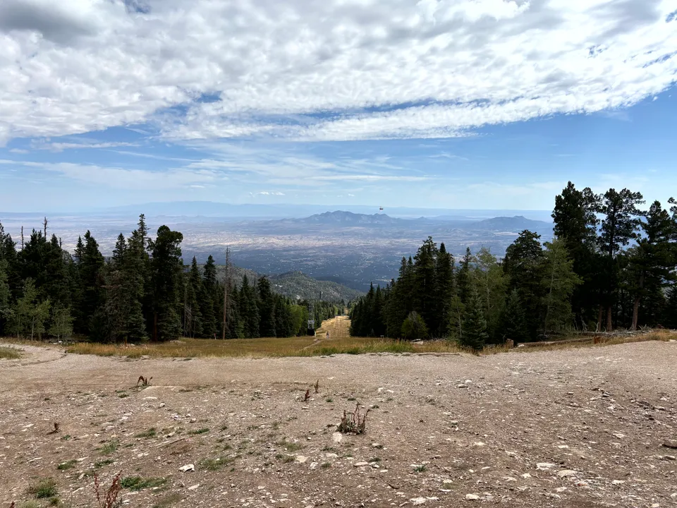
A small ski area overlooking Albuquerque, accessible via tram or mountain road for easy day trips.
Albuquerque
New Mexico's largest city, known for the International Balloon Fiesta, historic Route 66, and the Sandia Mountains.