Place guide
Shiprock
A towering 1,583-foot volcanic neck sacred to the Navajo as Tsé Bitʼaʼí, best viewed and photographed from Navajo Route 13.
📍GPS: 36.689023, -108.83851
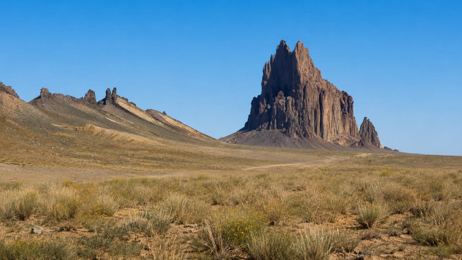
Rising 1,583 feet above the high desert of the Navajo Nation, Shiprock is one of the most recognizable landmarks in New Mexico, a jagged volcanic rock visible for miles in every direction. The Navajo know it as Tsé Bitʼaʼí, “rock with wings,” and it holds a deep religious significance for many native people. Shiprock is the hardened core of a 30-million-year-old volcano, left standing after the rest of the volcano eroded away.
What to Do
There’s no hike or climb here. The Navajo Nation banned access after climbers suffered serious injuries on Shiprock in the 1970s. Photography is the draw, especially at sunrise and sunset. To see Shiprock, pull off along Navajo Route 13 for open views of the spire and the long rock walls that rise from the desert floor.
How Much Time to Spend
This is a stop, not a destination. Fifteen to thirty minutes covers a couple of pullouts along the highway. Photographers chasing good light may hang longer waiting on the sun.
Getting There
From the town of Shiprock, drive south on US 491 for about seven miles, then turn west onto Navajo Route 13, also called the Red Rock Highway. The peak comes into view after a few miles, and the dike wall runs alongside the highway for several more, offering the closest legal views, roughly one to two miles out. Stay off the unpaved side roads if you don’t want a hefty fine.
Although you can’t get up close to Shiprock, the views from the highway pullouts are spectacular and are still worth the stop.
Nearby places
Navajo Nation
The largest Native American nation in the US, spanning parts of New Mexico, Arizona, and Utah.
Snake Bridge Arch
A 204-foot natural arch on the Navajo Nation, the largest in the state.
Farmington
A gateway city in the Four Corners region surrounded by ancient ruins and excellent San Juan River fishing.