Place guide
Dona Ana Arch
A 3.2-mile hike through the Doña Ana Mountains to a sandstone arch overlooking the Rio Grande Valley.
📍GPS: 32.452474, -106.833539
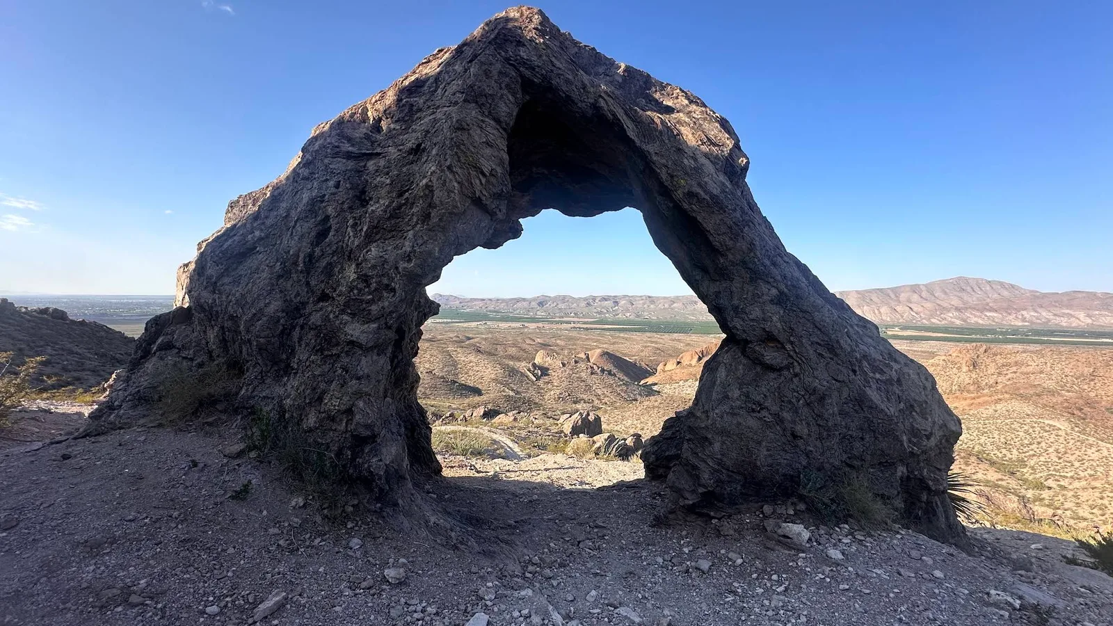
Just north of Las Cruces, the Doña Ana Mountains house a natural arch. It is close to the city, but the landscape is rugged with a nice payoff at the end.
What to Do
The Doña Ana Arch Loop is about 3.2 miles, with a longer 4.3-mile option if you want to extend the hike. The trail crosses sandy washes and climbs rocky ridges before reaching the arch, with a few small caves and alcoves along the way. From higher up, you get wide views over the Rio Grande Valley, Organ Mountains, and West Mesa. The climbs can be loose and slippery, so trekking poles are useful here.
How Much Time to Spend
Plan on about 1.5 to 3 hours depending on the route and how long you spend at the arch. This is more of a short hike than a quick roadside stop.
Getting There
The trailhead is on BLM land within Organ Desert Peaks National Monument. From Las Cruces, take I-25 north to the Doña Ana exit, then follow local roads toward the Doña Ana Mountains trailhead. The final stretch turns to dirt and is better suited to a crossover or higher-clearance vehicle than a low sedan. There is no water, shade, or developed facilities at the trailhead, and signage is limited.
If you want a short desert hike with a nice payoff close to Las Cruces, it is a good one.
Nearby places
Chihuahuan Desert Nature Park
A desert preserve on the edge of Las Cruces with short trails and hands-on desert education.
Fort Selden Historic Site
Ruins of a 19th-century frontier fort that protected settlers along the Camino Real.
Las Cruces
Southern New Mexico's largest city, known for its Organ Mountain backdrop, rich history, and agriculture.