Place guide
Kilbourne Hole
A National Natural Landmark volcanic maar crater famed for peridot collecting.
📍GPS: 31.971175, -106.962564
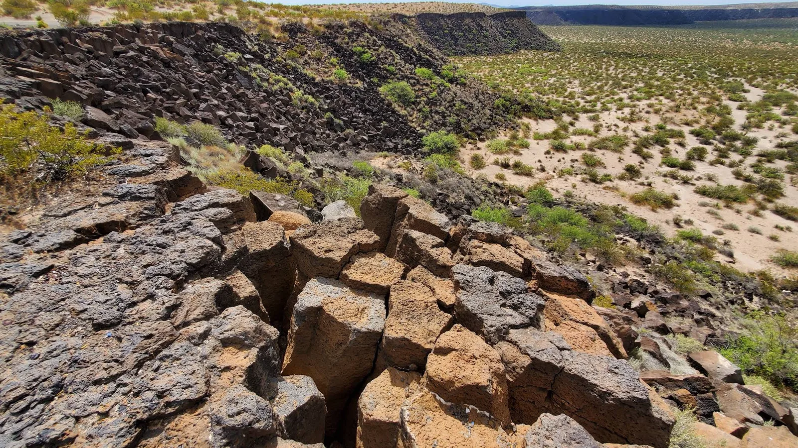
Kilbourne Hole is a huge volcanic crater in southern Doña Ana County, about 1.7 miles long that formed roughly 80,000 years ago. It’s a National Natural Landmark and one of the most unusual geological sites in southern New Mexico. Getting there can be challenging due to rough desert roads.
What to Do
Park near the rim and explore the crater from above, or hike down into it.
The walls reach up to about 300 feet and reveal layers of basalt and volcanic ash. The area is also known for olivine and peridot crystals found in the basalt, which has made Kilbourne Hole a popular rockhounding spot. The rim also has wide views across the Chihuahuan Desert toward the Potrillo Mountains. The site is managed by the BLM as part of Organ Mountains-Desert Peaks National Monument.
How Much Time to Spend
Plan on 1 to 2 hours at the crater. Once you include the drive in and out, this is realistically a half-day trip.
Getting There
Kilbourne Hole is about 45 miles south of Las Cruces. Most of the approach is on paved or county roads, but the final several miles are sand and volcanic rock. A high-clearance vehicle is recommended. There is no water, shade, cell service, or other services near the crater, so bring everything you need. Fall through spring is the best time to go. Summer heat can be extreme.
Nearby places
Mesilla Valley Bosque State Park
A riverside nature preserve along the Rio Grande teeming with migratory birds.
Massive Roadrunner
A giant roadrunner statue sitting at a rest stop with an incredible view.
Mesilla
A small town known for its historic plaza, basilica, and connection to Billy the Kid.