Place guide
Mount Taylor
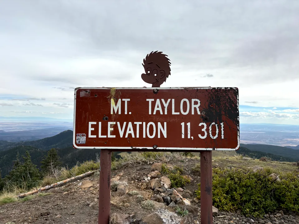
A sacred 11,301-foot volcano in the San Mateo Mountains with a strenuous summit trail and sweeping views of western New Mexico.
📍GPS: 35.238652, -107.608246
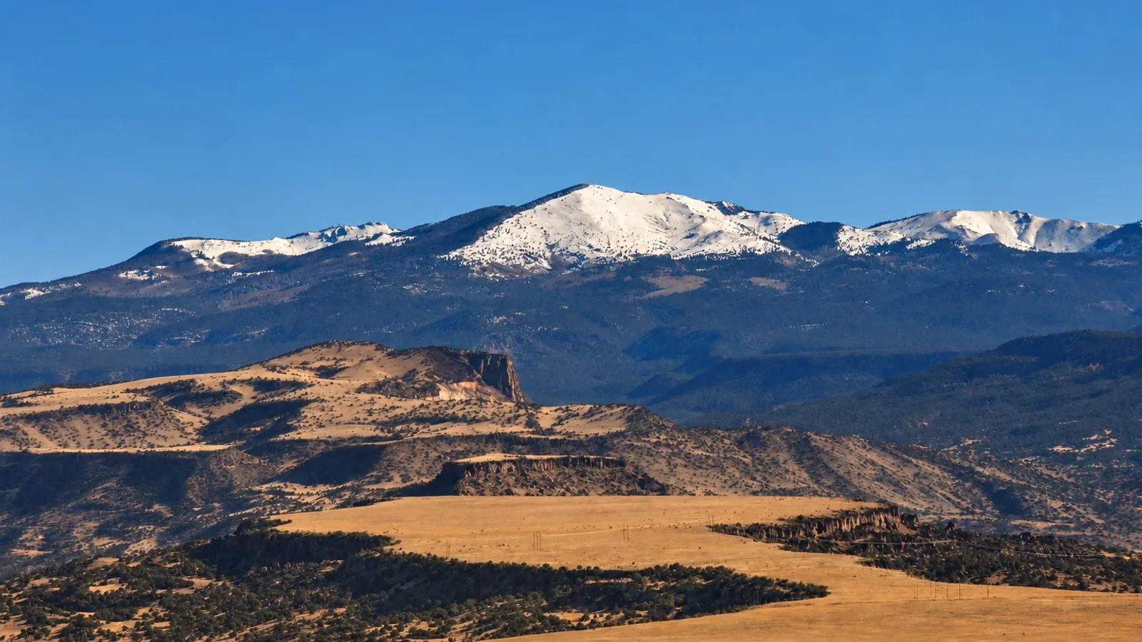
Mount Taylor is a major landmark of western New Mexico. The 11,301-foot volcanic mountain rises above Grants and can be seen from across much of the surrounding high desert. Known as Tsoodził to the Navajo, Mount Taylor is one of the four sacred mountains that define the traditional Navajo homeland. The mountain is also culturally important to Acoma Pueblo, Laguna Pueblo, Zuni Pueblo, and the Hopi Tribe. Around 400,000 acres surrounding the mountain are designated as a state cultural landscape and it’s a popular destination for outdoor recreation of all kinds.
What to Do
Hike!
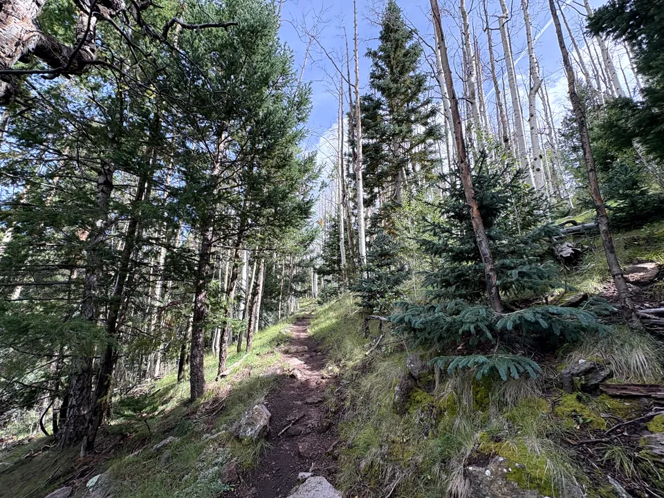
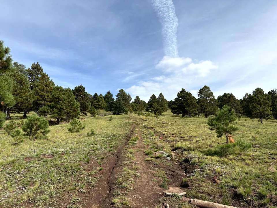
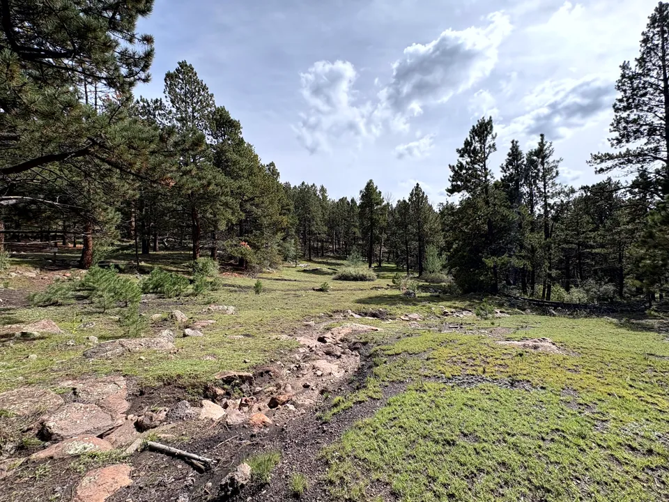
The main summit route is the Gooseberry Springs Trail, a 6.2-mile round trip with about 2,000 feet of elevation gain. The trail climbs through pine and aspen forest before reaching open meadows and the upper slopes of the mountain. Compared to other summits in New Mexico, Mount Taylor is more chill and the mountain itself may be the prettiest in the state.
From the summit of Mount Taylor, you get sweeping views across western New Mexico, including the Grants and Milan area, the lava fields of El Malpais, the mesas and high desert stretching toward the Colorado Plateau, and the Zuni Mountains on the horizon. On a clear day, the views extend for dozens of miles in every direction.
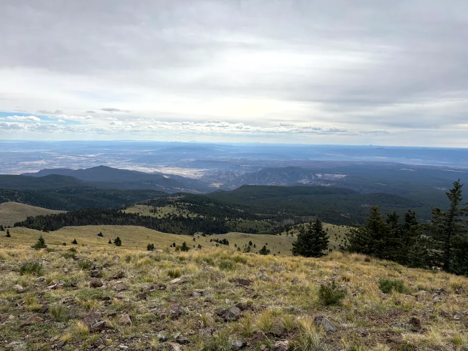
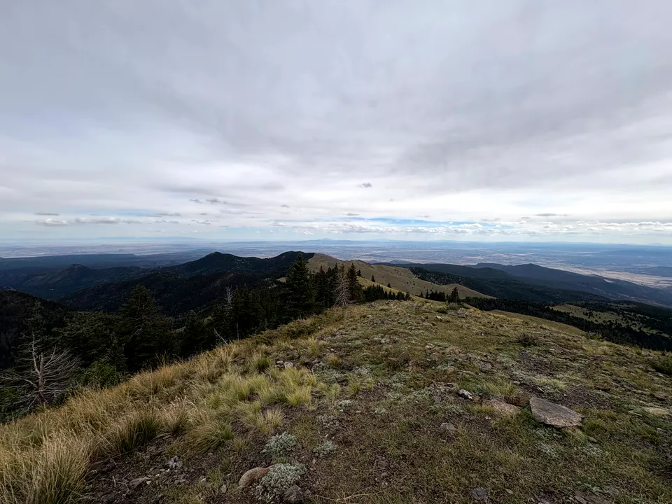
For an easier visit, you can drive to La Mosca Lookout near the summit, where you can get broad views over western New Mexico and Mount Taylor without doing much hiking. The Continental Divide Trail also crosses the Mount Taylor area and provides additional hiking at lower elevations.
How Much Time to Spend
Plan on most of a day if you’re hiking to the summit. The Gooseberry Springs Trail usually takes four to five hours, plus the drive from Grants. A shorter sightseeing trip toward La Mosca Lookout can be done in a few hours.
Getting There
From Grants, take Lobo Canyon Road (NM 547) northeast for about 13 miles. Continue onto Forest Road 193 (Horace Mesa Rd) for roughly 5 miles to reach the Gooseberry Springs trailhead at around 9,300 feet (35.220111, -107.636694 is the exact spot). The final stretch is unpaved, and snow can make the upper roads inaccessible during winter and early spring. Summer and fall are the most reliable seasons for reaching the trailhead. Download maps before heading up and check the weather, thunder storms can form quickly on the mountain.
Mount Taylor’s combination of scenic views, diverse trails, and (relatively) accessible summit makes it a must-visit for hikers in New Mexico!
Nearby places
The Portales Church of the Hidden Cove
A secluded Catholic shrine tucked into a natural sandstone grotto near Paguate, also known as Los Portales Shrine.
Grants
A Route 66 town once known as the uranium capital of the world, gateway to El Malpais.
Laguna Pueblo
A Keresan pueblo known for its white mission church and the world renowned Laguna Burger.