Place guide
El Malpais National Monument
A dramatic volcanic landscape of lava flows, lava tube caves, cinder cones, and ancient Pueblo trails.
📍GPS: 34.890648, -108.004786
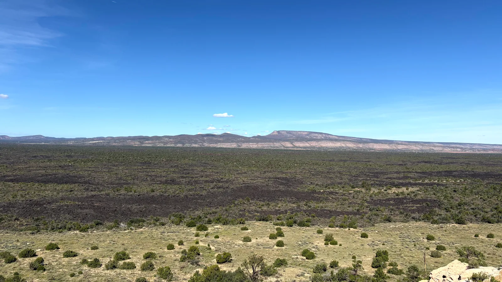
El Malpais National Monument protects a huge volcanic landscape south of Grants, where black lava flows, cinder cones, lava tubes, sandstone cliffs, and forests cover more than 100,000 acres. The name means “the badlands” in Spanish, and parts of the monument live up to it. Much of the ground is made of jagged basalt from eruptions that occurred over tens of thousands of years. Despite the harsh terrain, El Malpais is incredibly varied. Pine and juniper grow between lava flows, wildflowers fill cracks in the basalt, and massive sandstone cliffs rise above the volcanic plain.
What to Do
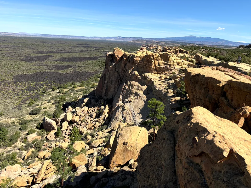
Start at the visitor center in Grants, there you can talk to rangers, get a free caving permit, and see exhibits about the monument’s geology, wildlife, and history. From there, you can begin exploring the various natural features of the monument. Sandstone Bluffs provides a great introduction. The overlook sits high above the lava fields and gives you one of the widest views in El Malpais, with Mount Taylor visible to the north on clear days. You can see the view and explore the surrounding sandstone without committing to a long hike.
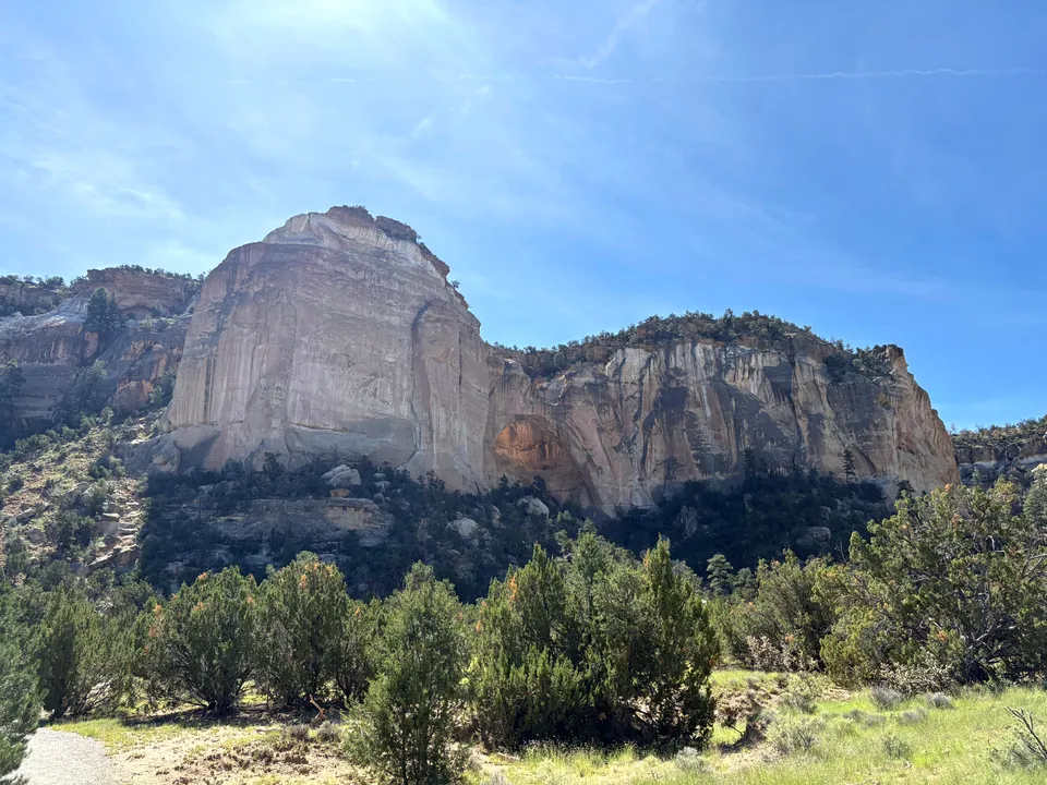
Farther south, La Ventana Arch is one of the largest natural arches in New Mexico. A short trail leads from the parking area to a viewpoint beneath the arch, making it another easy stop after the bluffs.
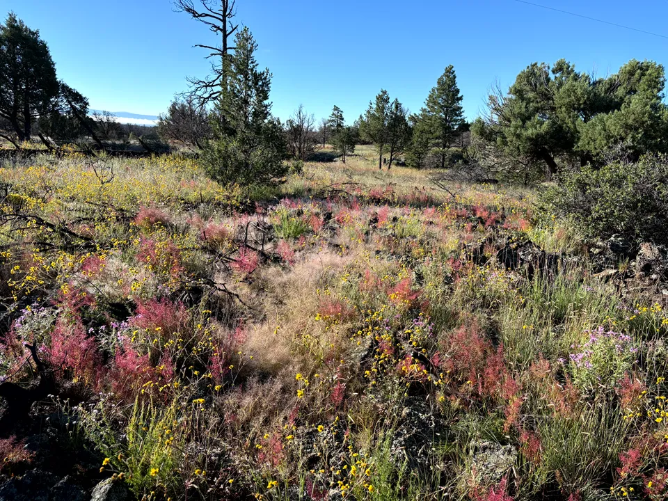
Beyond La Ventana Arch there is open hiking and exploration across the monument’s southern lava fields. On the north side of Malpais, El Calderon offers a more structured hiking experience. The trail passes lava tubes and leads to a large cinder cone formed during one of the area’s many eruptions. There is a bat cave and lots of wildflowers in warmer months, this is my favorite part of the monument personally.
For something more adventurous, Big Tubes takes you deep into the lava fields, where collapsed tubes, caves, lava bridges, and jagged basalt create some of the wildest terrain in the monument. The road and trail are rougher than the monument’s more developed stops, so plan extra time.
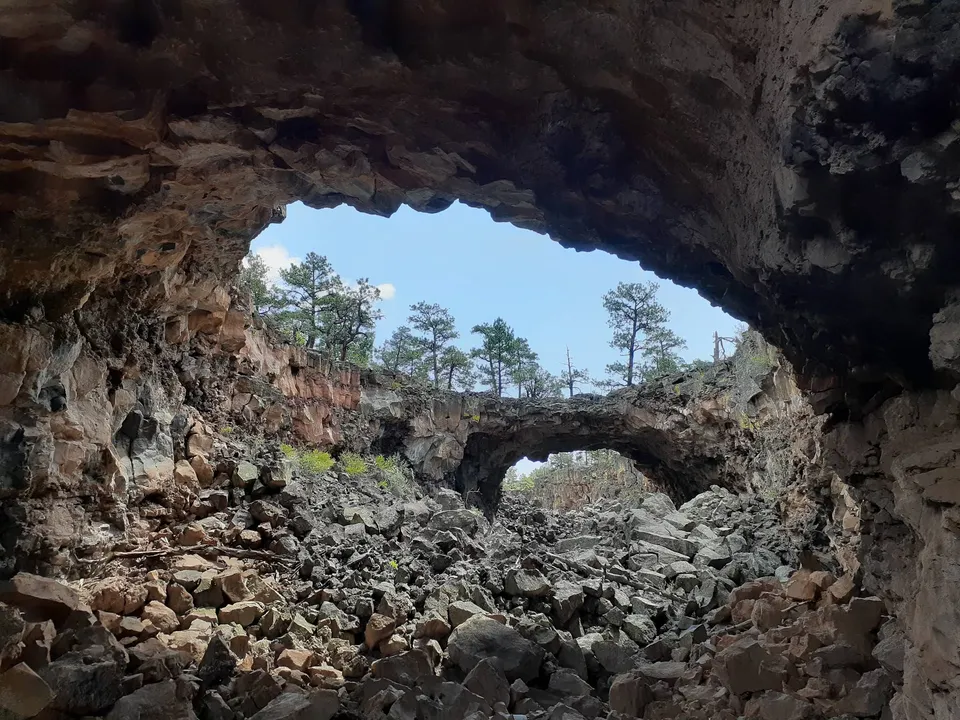
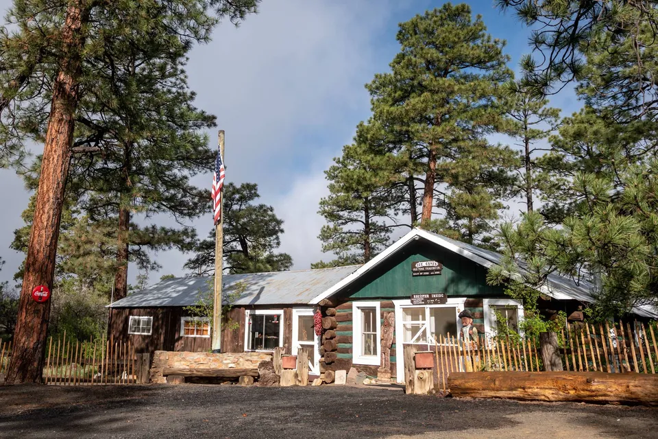
Just outside the national monument, Ice Cave and Bandera Volcano offers another look at the area’s volcanic history. The privately operated attraction includes Bandera Volcano and a collapsed lava tube where a patch of ice has remained frozen for thousands of years.
The Conundrum of Navigating El Malpais
El Malpais is huge, and its layout makes it a little awkward to explore in a single visit.
Sandstone Bluffs, La Ventana Arch, and the southern lava fields are reached from Highway 117 on the east side of the monument. Meanwhile, El Calderon, Big Tubes, and Ice Cave and Bandera Volcano are accessed from Highway 53 on the north and west sides.
There are no roads cutting through the middle of the monument, so moving between the two sides means driving back around through Grants. From the southern end of Highway 117, it can take around 40 minutes to return to the visitor center, with another half-hour drive required to reach the Highway 53 attractions. Because of that, El Malpais is best approached as either a full-day destination or as two separate areas.
If you only have a few hours, Ice Cave and Bandera Volcano is one of the easiest options. Its short trails and compact layout give an accessible taste of the volcanic landscape without requiring much driving or hiking.
The Highway 117 side is better for scenery. Sandstone Bluffs and La Ventana Arch are both easy stops with excellent views, but once you head south, you will either need to backtrack toward Grants or continue on toward Pie Town. El Calderon and Big Tubes are better choices for actually getting out into the lava fields and exploring the volcanic terrain up close. You’ll have a good time whatever direction you pick, just understand that getting from one side to the other will take some extra time.
Getting There
El Malpais National Monument is just south of Grants and is split between two main access corridors.
The entry point for most is the El Malpais Visitor Center, which is located near Exit 85 on I-40. From there, Highway 53 heads west toward El Calderon, Big Tubes, and Ice Cave and Bandera Volcano. To reach the eastern side of the monument, take Highway 117 south from I-40. This road passes Sandstone Bluffs, La Ventana Arch, and several trailheads before continuing south toward Quemado and Pie Town.
Most major overlooks and developed stops are accessible by normal passenger cars, but roads into more remote areas such as Big Tubes can be rough and may require extra clearance. Spring and fall are the most comfortable times to visit. Summer afternoons can become hot on the exposed black lava, while winter snow and ice can make the already uneven terrain more difficult.
Even though there are some challenges with seeing all of the monument, visiting is well worth the effort. The unique volcanic landscapes, scenic overlooks, and diverse trails make El Malpais a must-visit for any nature lover!
Nearby places
El Calderon
A volcanic cinder cone in El Malpais National Monument surrounded by lava flows, a bat colony, and ponderosa forest.
La Ventana Arch
One of New Mexico's largest natural arches, an easy short walk from a paved pullout near the El Malpais lava fields.
Grants
A Route 66 town once known as the uranium capital of the world, gateway to El Malpais.