Place guide
Jemez Mountains
A volcanic range surrounding a massive caldera, best explored on the NM-4 scenic byway.
📍GPS: 36.040756, -106.73205
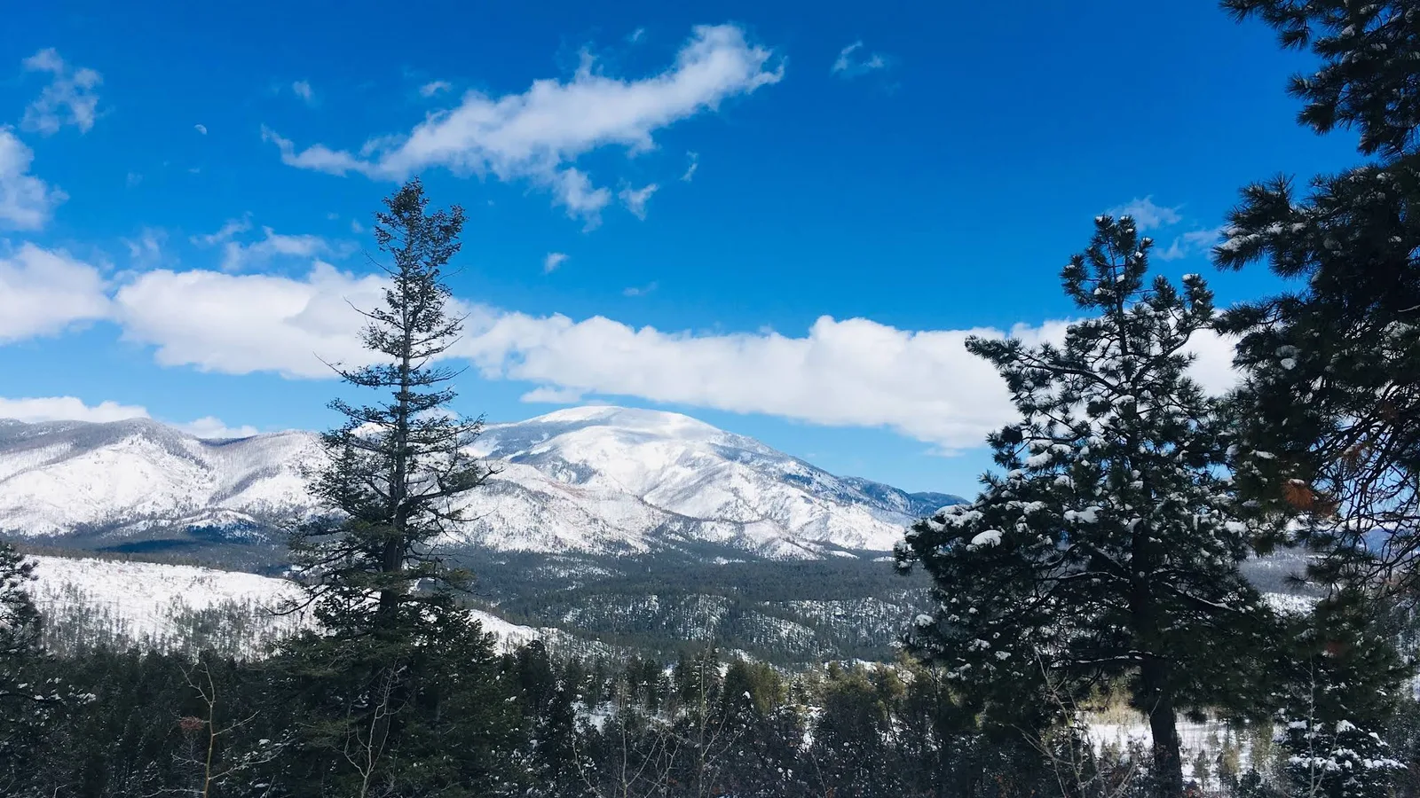
The Jemez Mountains are a range of volcanic peaks and mesas surrounding one of the largest calderas on the continent, a bowl left by an eruption roughly 1.2 million years ago that spans 14 miles and is now ringed by forest. Driving NM-4 through the range covers many of the highlights and requires little planning, making the Jemez one of the easiest mountain regions in New Mexico to explore by car.
What to Do
NM-4, the Jemez Mountain Trail National Scenic Byway, threads through the range from San Ysidro toward Los Alamos. Near the southern entrance, detours lead toward Walatowa Slot Canyon and the Gilman Tunnels before the highway reaches Jemez Springs, the main town in the mountains.
Around Jemez Springs, several of the range’s easiest stops sit right along the road. The Jemez Historic Site preserves the ruins of a 17th-century Spanish mission and an earlier ancestral Jemez village, while Jemez Soda Dam forms a strange mineral ridge directly beside NM-4. A few miles farther north, Battleship Rock marks the entrance to one of the most scenic stretches of the canyon.
This is also where the Jemez starts opening up for hiking and hot springs. McCauley Warm Springs is reached by trail above Battleship Rock, while Jemez Falls offers a short hike to the tallest waterfall in the range. Spence Hot Springs is another popular roadside hike, and the more remote San Antonio Hot Springs sits deeper in the forest to the north.
For a quieter stop, Fenton Lake sits in a forested valley west of the main highway and is popular for fishing, picnicking, and camping. Farther east, Las Conchas brings NM-4 alongside the East Fork of the Jemez River, with short riverside walks and rhyolite cliffs used by local climbers.
The centerpiece of the range is Valles Caldera National Preserve. NM-4 climbs onto the caldera rim before opening onto a huge grassy basin with Redondo Peak rising from the center. Elk are common on the valley floor, especially around dawn and dusk, and the highway pullouts alone give some of the best views in northern New Mexico. If you want to spend more time inside the caldera, the preserve has its own trails, backcountry roads, and interior access.
How Much Time to Spend
The drive from San Ysidro through the mountains can be done in a few hours, but that barely leaves time to get out of the car. A full day lets you stop in Jemez Springs, see Soda Dam and Battleship Rock, take a short hike, and spend time around Valles Caldera.
Two days is better if you want to add longer hikes, visit the hot springs, explore the Gilman Tunnels, or spend real time inside Valles Caldera.
Getting There
NM-4 is a paved, well-maintained two-lane highway through the main corridor, reachable from US-550 at San Ysidro on the west end or from NM-502 near Los Alamos and White Rock on the east end. The mountain sections are curvy and climb above 8,000 feet, so snow can make winter travel slower and occasionally difficult.
Most major stops along NM-4 are accessible in a normal car, though side trips such as San Antonio Hot Springs and some forest roads can require rough-road driving or seasonal access.
Rushing through the Jemez in an hour misses the point. Give the mountains at least half a day, and preferably a full one, because nearly every bend in NM-4 leads to another trail, hot spring, canyon, or roadside stop worth pulling over for.
Nearby places
San Antonio Hot Springs
Remote undeveloped hot springs in the Jemez Mountains, reached by a forest road and short hike.
Fenton Lake State Park
A pristine mountain lake in the Jemez Mountains known for trout fishing and winter snowshoeing.
Jemez Springs
A tiny mountain village known for hot springs, red-rock scenery, and easy access to the Jemez Mountains.